


Strawberry Mountain is a tall and very prominent summit located near Prairie City in Eastern Oregon. Its an attractive peak to bag given its topographic prominence of 4,080' and its status as a wilderness highpoint. Here's my trip report.
After achieving the prize of my trip with a climb of She Devil in Idaho, I wanted to bag one further prominent summit. While headed south towards Winnemucca, Strawberry Peak seemed to be the best way to break up a long road trip. Outside of the hardcore Oregon hiking scene and peakbaggers, Strawberry Mountain is obscure but its set in a completely unspoiled wilderness which beacons exploration.
Getting to Strawberry Mountain's Trailhead
Strawberry Mountain has several access points but there are two that most people use. From points south near Seneca, Oregon, there's a great hike near Indian Springs Campground at the trailhead simply known as Strawberry Mountain Trailhead. That trail is a 7.2 mile out-and-back trail that's shorter than the route I took. Coming from the north, I took the trail from Strawberry Campground. To get to Strawberry Campground, set the GPS to Prairie City, Oregon. From Prairie City:
- Head south from Highway 26 on Main Street for 0.4 miles to the "T"
- Turn left on to Bridge street for 2 blocks
- Take the second right to stay on Bridge Street which eventually becomes Strawberry Road.
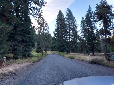
- Take Strawberry Road/NF-6001 11 miles to the Campground. The first 3.1 miles out of town are paved. The road turns to high-speed gravel for 5.3 miles while it remains a county maintained road. Once the road hits the National Forest boundary, the next 2.6 miles are less maintained but fairly good quality all things considered. I had no trouble getting to the campground in a stock Subaru although there were sections that would be steep and a bit rutted for a standard passenger vehicle. If for some reason you have doubts about your vehicle, Onion Creek Trail about 1.1 miles from the campground offers an alternative parking area and trail to the summit.
When I visited in fall of 2022, there was abundant camping, water sources and pit toilets. There was no fee.
Map of the Hike
Here's a map of my hike of Oregon's Strawberry Mountain from Strawberry Campground. There were several points of interest along the way and plenty of backcountry campgrounds to chose from. This was an exceedingly enjoyable trail with minimal route-finding challenges.
Strawberry Mountain Trip Report
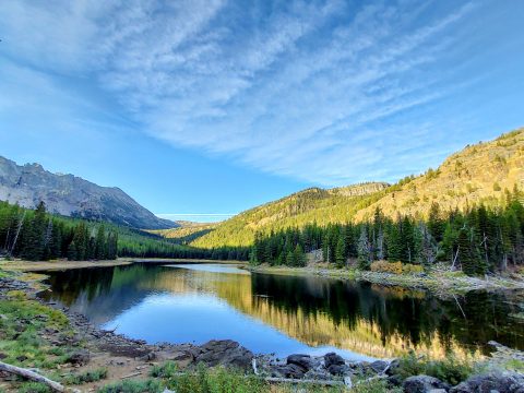
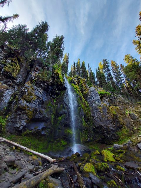
From the campground, I found the trailhead and headed up Strawberry Basin Trail #375 through the woods. I reached Strawberry lake after 1.4 miles and about 530' of gain. Strawberry Lake is tranquil and picturesque with plenty of backcountry campsites to chose from. From there, I kept on Strawberry Basin Trail #375 for another 1.1 miles and stumbling upon Strawberry Falls. The falls were lovely although running kind of low considering the drought. The lower view of the falls was a brief and worthwhile detour.
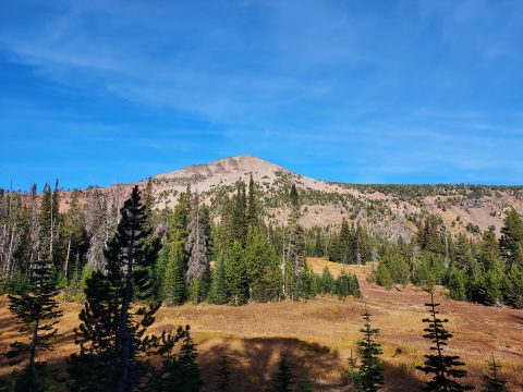
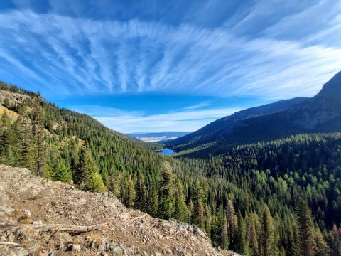
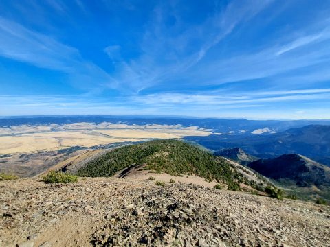
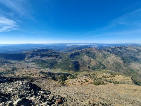
From the falls, I ascended the steep trail as it climbs out of the first basin and dog-legs its way up to the ridgeline. It was 2.7 miles from the falls to the ridgeline with a very steady gain of about 1,500'. My effort was rewarded with increasingly panoramic views of Strawberry Basin and Strawberry Peak itself.
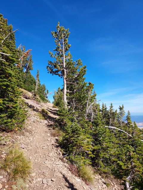
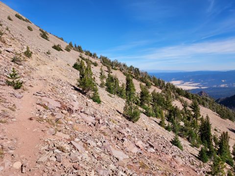
At 5.2 miles, the trail pops out on the ridgeline at roughly 8,200' of altitude with the summit directly to the north. Shortly afterwards, it intersects with Onion Creek Trail #368. I took a right here and followed the trail as it wraps along the eastern flanks of the summit. About 0.7 miles from where I hit the ridgeline, there's a summit trail heading southwest which brought me to the top of Strawberry Mountain. My GPS told me it was a 3,400' climb from the trailhead to summit. The top is well above tree-line and has miles of views in every direction.
I returned the way I came although noted you could make a nice loop with Onion Creek Trail #368. Total distance on the out-and-back was 12.9 miles which I did over 5 hours. For all the things named Strawberry on this hike, I never actually saw any strawberries. Oh well.

No Comments