Driskill Mountain is the third shortest state highpoint in the United States. Louisiana is a land full of adventure but most of it is flat. This isn't to say there isn't plenty to do but hiking the high point was a very brief adventure. The view was nice though!
 |
| Driskill Mountain Summit |
Day: 26
I was disappointed that I wasn't doing a better job of exploring Louisiana. It is a state that shares a surprisingly similar cultural heritage to Maine where Acadian takes on a similar meaning. With all the swamps and "bayou country", I'm sure I would have had a better time on my kayak than simply driving through and hiking the high point. At least I visited the famous
Duck Commander in West Monroe.
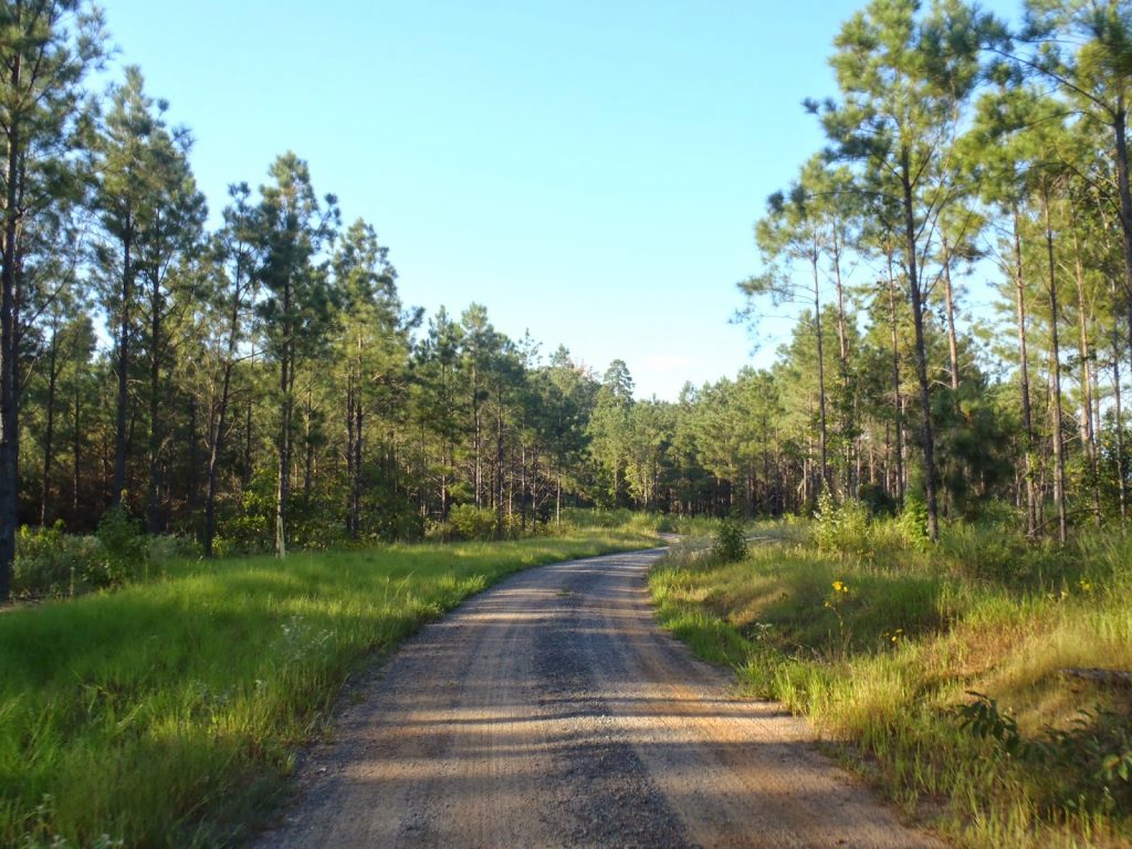
For its comparatively modest elevation, Driskill Mountain actually feels like a mountain in the low hills of Northern Louisiana. There are some fleeting views from both the hike and the drive. Here's a map-
The "climb" starts at Mt Zion Presbyterian Church off of State Route 507, southwest of Ruston, Louisiana. While it's all paved state roads to get there, it is in a particularly rural part of the state. There's no cell phone reception nor nearby services. Parking at the church is welcome and there's a sign at the parking lot noting the state high point.
In previous times the summit was difficult to reach because it involved traversing many unmarked trails and logging roads. One had to follow a very prescribed set of distances and turns to make it to the summit.
Summitpost has an excellent article regarding this. These days an Eagle Scout project has made the hike very well marked and straightforward. The roads and trails are almost entirely on private land. To ensure access remains unrestricted, don't do anything other than hike and enjoy the scenery; no campfires, camping or harvesting wood/plants.
I wasn't sure what to expect in Northern Louisiana at first. Generally I think of this area as flat and mostly farmland but this part was heavily logged. It reminded me of my home state of Maine, actually. Logging trucks would fly right by and most of the smaller communities seem to depend on the industry as much as rural Maine.
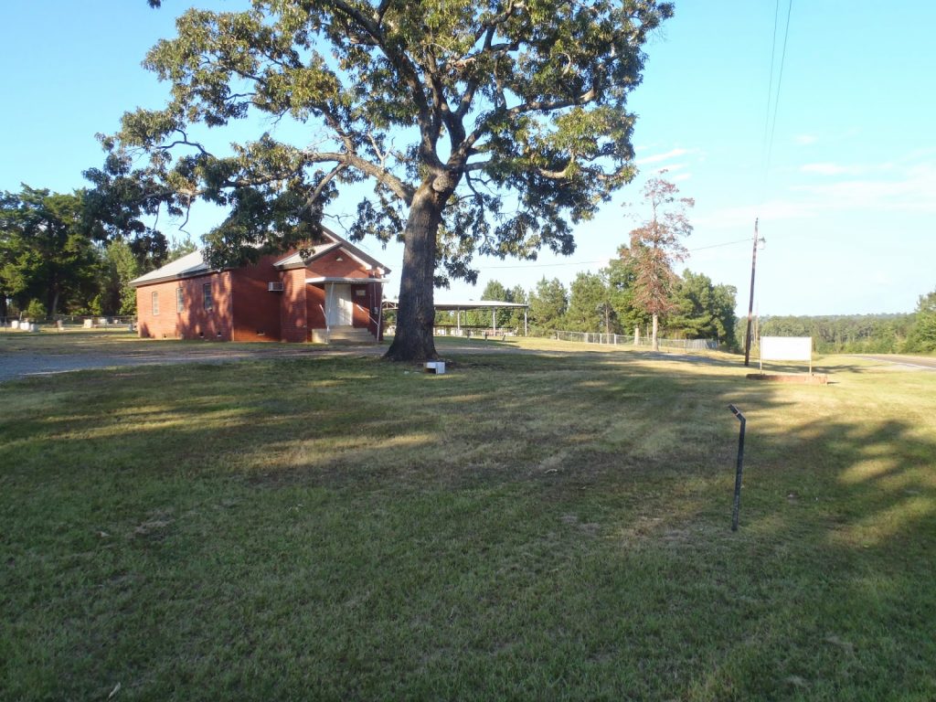 |
| Presbyterian Church and parking area |
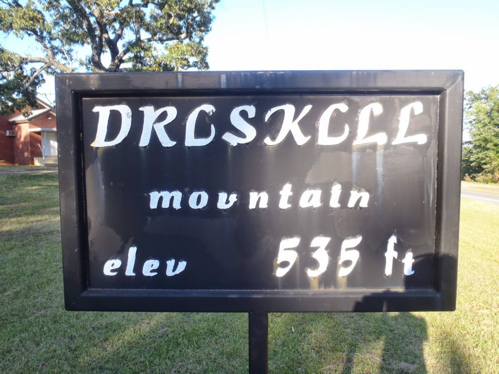 |
| This isn't the summit but a sign marks the area |
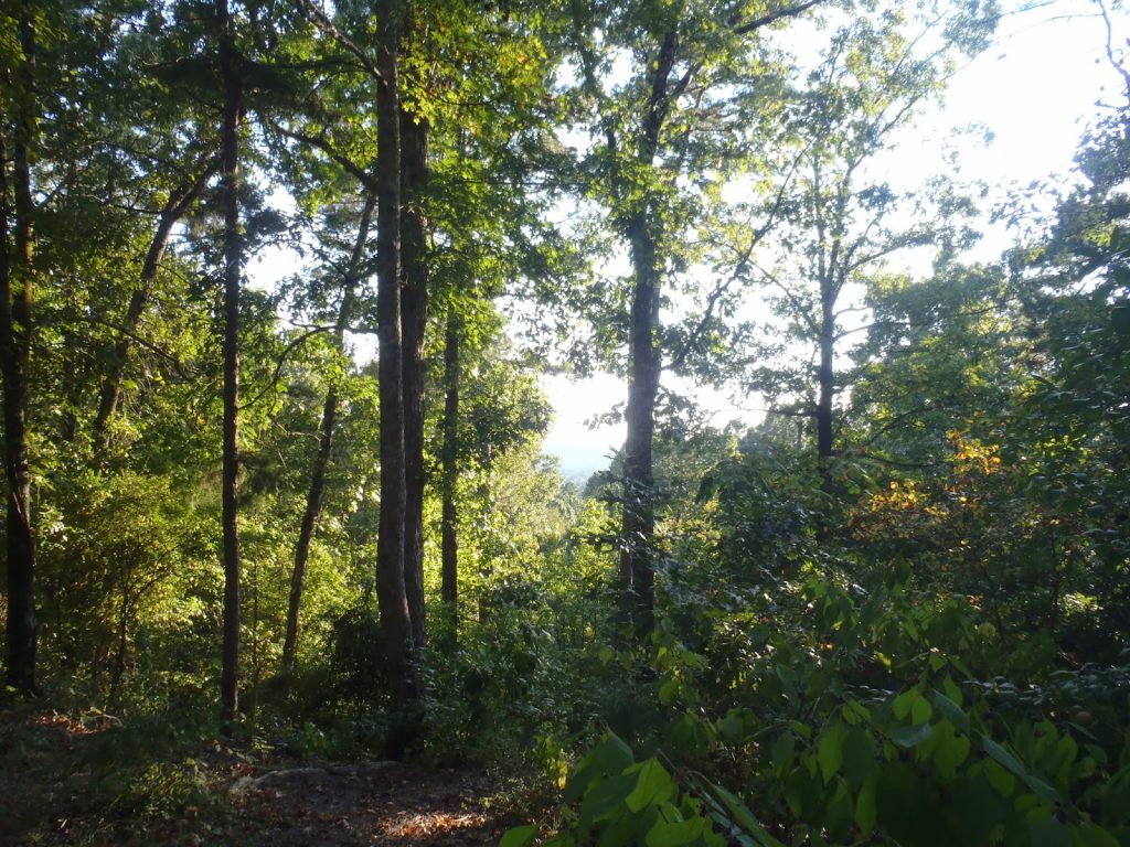
I really enjoyed this hike. The forest surrounding the summit has probably been logged in the last few decades but it still felt lush and natural. Views were occasional but not missed. It didn't take more than about 20 minutes to get to the top. The Highpointers Club maintains a great summit area and the Eagle Scout Project has contributed significantly to the aesthetics.
Two additional areas can be explored. There's a little clear cut area that offers a little view towards a nearby summit that's just a tenth of a mile away. Another highpointer bench allows the hiker to spend a few minutes enjoying a rare view of Louisiana. Just south of the summit is perhaps the second highest "mountain" in the state. It can be semi-bushwhacked or one can take a faint herd path around the area. There isn't a view to be had but the forest is pristine. Make sure to follow the blue blazes and never cross a fence or any other area that appears to not welcome hikers.
 |
| Quite enjoyable for a 500' summit! |
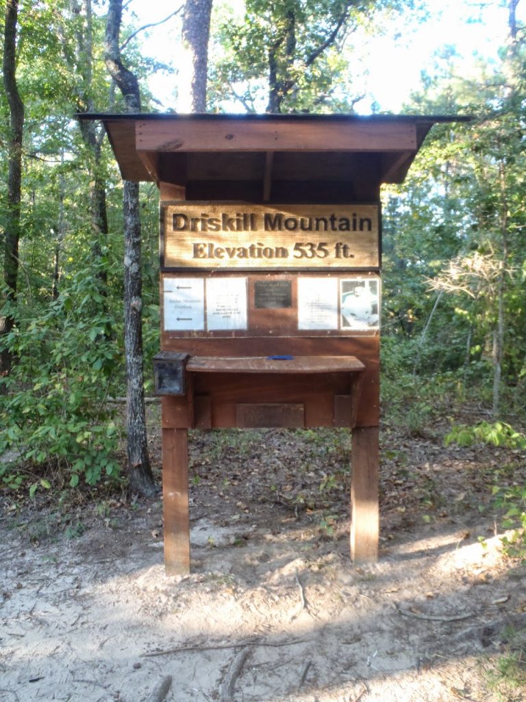 |
| Summit Register and Markers |
This was one of the more enjoyable "little highpoints" I've hiked. I look forward to exploring more of Louisiana in the future.
Read. Plan. Get Out There!


No Comments