Mt Davis is the highest mountain in Pennsylvania. Although it doesn't rise prominently above the landscape like other mountains in the state, it is a nice place to visit and has some nice short hiking.
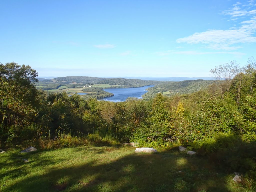 |
| Viewpoint near the actual highpoint |
Day: 8
Miles: 1300?
Back in the mountains again! I turned west from the Chesapeake and made my way up the ridges and valleys of Western Maryland before finally coming up to Mt Davis. The summit of Pennsylvania is, unfortunately, not a destination for long distance hiking or bigger adventures, but it does offer some short day hikes.
Getting to Mt Davis is not too tricky but it does involve driving around some driving along beautiful but rugged Pennsylvania back roads.(
Directions from Grantville, MD, off of I-68) (
Directions from Pittsburgh).
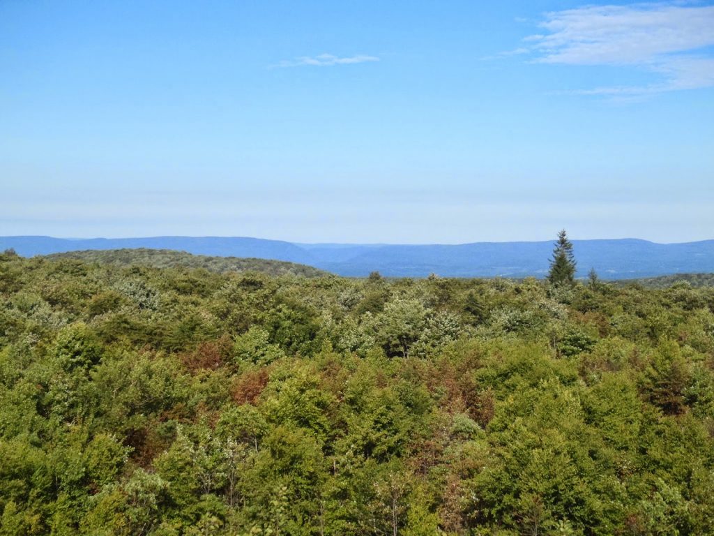 |
| View from the summit tower |
Like many eastern summits, the summit is reached via parking lot! I wish it was more like Mt Washington in that there is a parking lot but also many trails which are a better option. Oh well. There is a network of trails which leave near the summit parking area which can serve as a hike.
Getting to the summit from the parking lot takes 5 minutes and there is a fire tower with an observation platform. The view from the summit shows how much of a plateau this area really is. Views go on for miles-
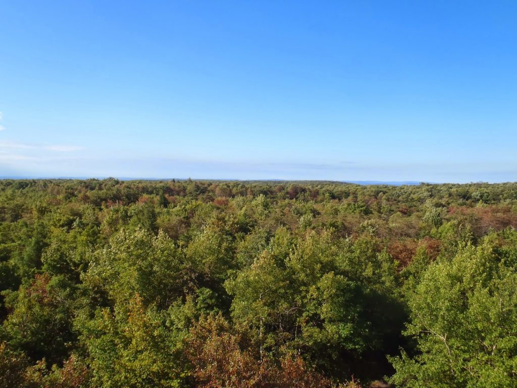 |
| More views from the top! |
The summit does have some fantastic local and geological history notes as well. The area is immaculately maintained. One of the rocks has a map of trails in the area which was helpful. I decided to hike one of the loops around the summit just to make sure that I didn't just drive here.
The summit is a modest 3,000 footer but has some surprisingly alpine flora. Like summits in the northeast, the growth is gnarled and stunted. Trees that normally soar over the trails are barely 10-20 feet. That aspect of the trail was as nice as the view. I meandered around the loop trails leisurely. There very little elevation gain or loss.
 |
| Summit trails! |
I wish there was a more epic way of ascending the summit but the loop trails would have to do. Later I would be mountain biking some insane single tracks out in Ohiopyle so that would satisfy my adventure itch!
Read. Plan. Get Out There!


No Comments