Jay Peak in Vermont is famous for being a ski resort but the mountain itself is one of New England's greatest. The summit does not reach the magical 4,000 foot mark, but it does stand as one of the last major mountains on the Long Trail and of Vermont's Green Mountains. It earns its place among the best hikes in New England. For those looking to bag a NEHH peak, Big Jay is on that list as well.
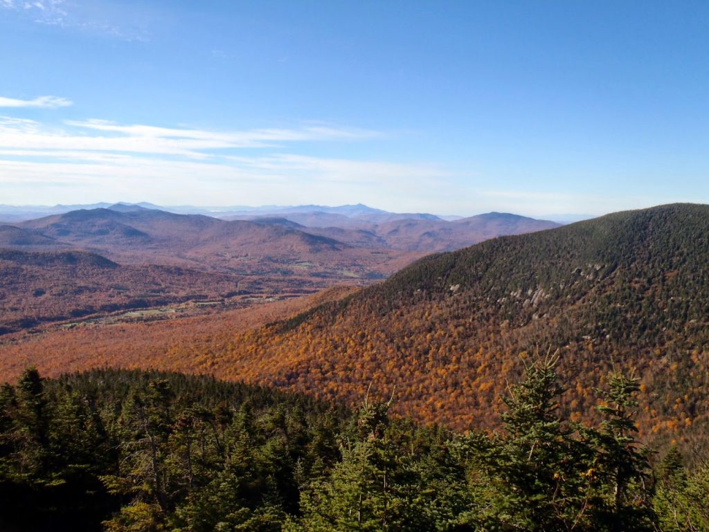 |
| Last time I visited, I had much better views of Big Jay and Jay Peak |
 |
| Big Jay actually seems like its own mountain rather than a nameless spur |
 |
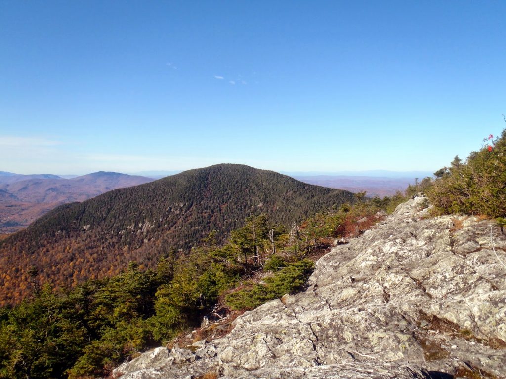
| Jay Peak in the Fall was nicer than Jay Peak in the middle of a summer Nor'easter! |
I was looking forward to hiking Jay Peak once again after 2 years of absence. Last time I hiked
Jay Peak was in late 2011 on a classically gorgeous fall day. It was my first real experience with a New England autumn and boy, did it ever live up to my expectations! So I was also excited to hike this mountain in the summer... but instead I was nailed by a summer nor'easter. Oh well. My pictures from last hike will have to do.
Big Jay stands nearby Mt Jay and is on the
New England 100 Highest list. For that reason, I would also be hiking this mountain. Wouldn't want to leave out any stragglers now, would I?
The best way to get up the mountain is from Route 242 where it crosses the Long Trail.
Other routes exist from the North, but with the massive storm, I wanted to hike something familiar. I never really got a good view anyways.
Jay Peak can be reached in about 1.6 miles from the Long Trail intersection with Route 242 (3.2 round-trip, obviously). It is a relatively steep ascent and the last big ascent for those northbound hikers on the Long Trail. It is straightforward, well marked and can be done on its own in about 1/2 a day.
Some hikers, like myself, continue on to the Big Jay Trail. This trail begins after descending almost 200 vertical feet down from the summit and is almost immediately after the Long Trail leaves the ski resort boundary. The trail itself is obvious but is not marked and is essentially a herd path. I found it extremely easy to follow despite its designation as a herd path. It was similar to
Mt Nancy, if you've hiked that one before.
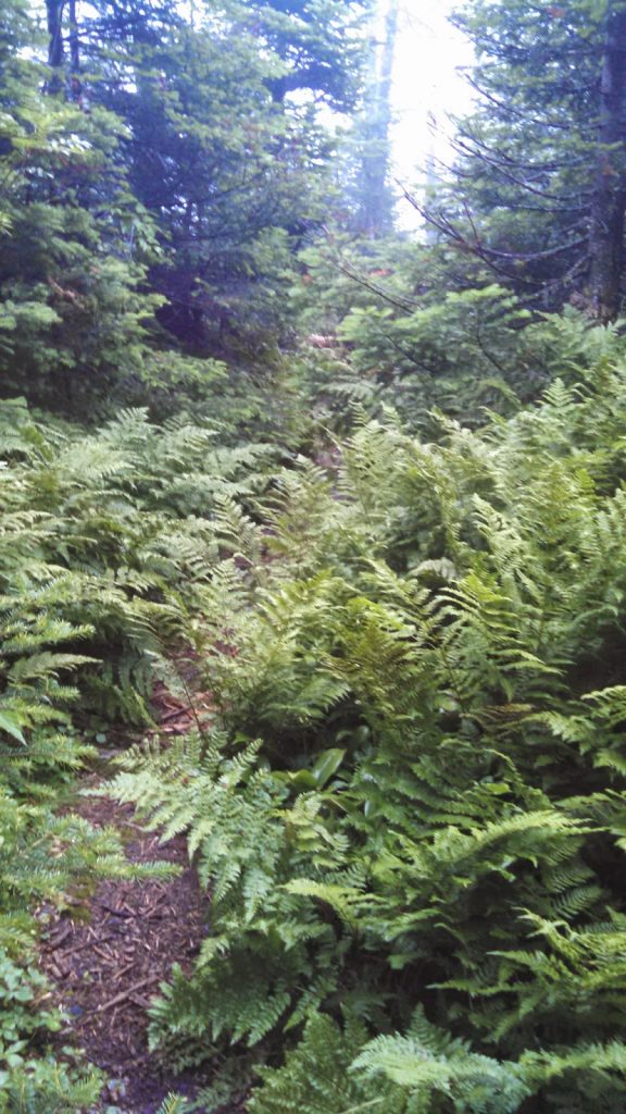 |
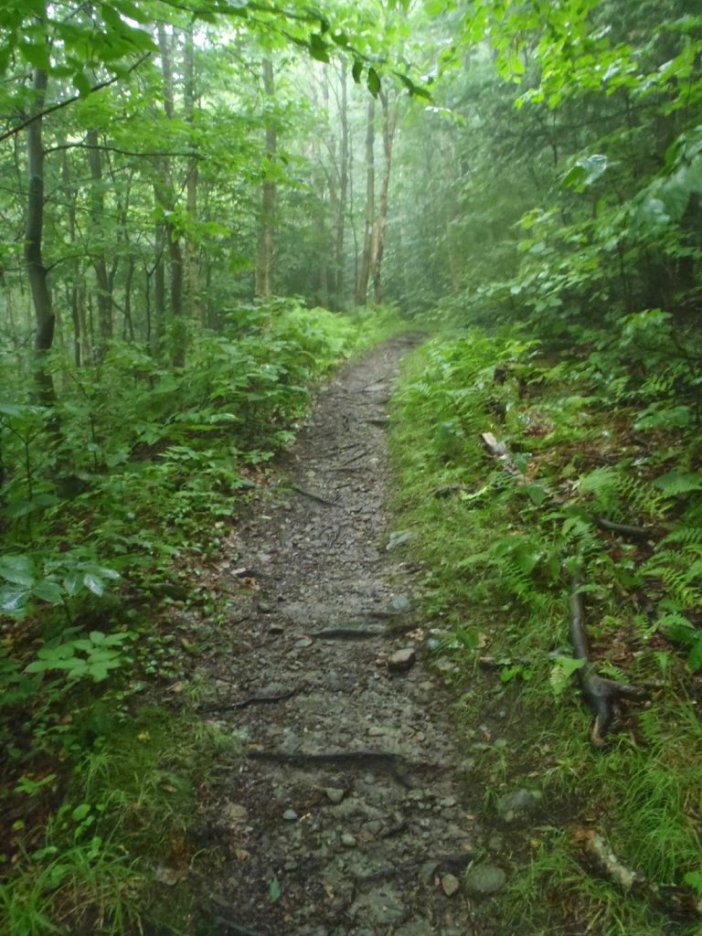
| Pretty easy herd path although quite muddy |
 |
| Muddy herd path near the summit |
 |
| Back on the Long Trail |
The summit of Big Jay is marked with a ski stretcher and a classic "mustard jar canister". There was a pretty substantial descent to the col with a 300' elevation gain after that which makes the extra trek more than just a gimmie. The summit does have a view of Jay Peak on a clear day but I had none. The summit canister notes that most of the hikers were on their #90-#100 on their quest to the New England 100 Highest. It was interesting to note how many actually finished their 100 highest on this very summit.
Back down the very muddy col and back up Jay Peak... not much to be said. I encountered a few blowdowns and side trails that disappeared into nothingness but it wasn't too hard to follow. Nevertheless, a good topo map and GPS would be advisable...
Well that's #89 for me on the NEHH! Almost there!
Read. Plan. Get Out There!


No Comments