


Signal Mountain, Vermont is a trail-less summit that may see no more than a dozen hikers or hunters in a year. It is both a P2K and a county high point which is the only reason that hikers come by this way. Apparently the hunting is great too and it is in a state forest. I found it to be an easy bushwhack.
Many of my New England 50 Finest trip reports are of mountains that are rarely climbed by anyone so I won't be surprised if this post fades into anonymity on the world wide web. However, I am sure there are a few other folks out there who are compulsive peak baggers and love completing prominence lists, so this one's for you.
Part of climbing New England's 50 Finest Mountains is a substantial amount of bushwhacking and route finding. Occasionally this can be a fun walk though the woods and occasionally this can be a maddening struggle through viciously thick spruce. This one was the former- a pleasant walk through the woods with nobody around. In fact, I think Signal Mountain is one of the most enjoyable bushwhacks I've had to date. Certainly wasn't the utterly impossible 'whack that Mt Baker was.
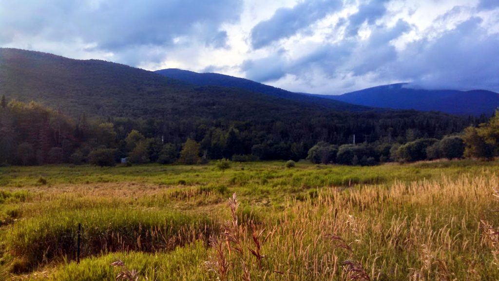 |
| Signal Mountain (R) and Butterfield Mountain (L) |
Part of climbing New England's 50 Finest Mountains is a substantial amount of bushwhacking and route finding. Occasionally this can be a fun walk though the woods and occasionally this can be a maddening struggle through viciously thick spruce. This one was the former- a pleasant walk through the woods with nobody around. In fact, I think Signal Mountain is one of the most enjoyable bushwhacks I've had to date. Certainly wasn't the utterly impossible 'whack that Mt Baker was.
View Hiking and Bushwhacking Signal Mountain, VT in a larger map
I parked right off of Route 302 because I didn't think my car could get up the old logging road but if you have 4x4 and a decent amount of clearance, you can make it up the road. As for me, I continued on foot.
The road is unmarked and was not gated when I went during the summer. I had to use the Vermont Delorme Atlas to navigate the mess of logging roads but it becomes apparent after a little ways. The road eventually wraps around Butterfield Mountain and comes near to the saddle between Signal and Butterfield. At this point, I hiked maybe 1500 yards further and then plunged into the woods.
Experienced bushwhackers will find this hike to be open and easy. As you can see from the map, it is quite steep in some sections and I did encounter a cliff that required some tricky climbing, but that was the only difficult section. It is open woods and mostly deciduous trees. Compared to the joy of slicing through wall-to-wall krummholz, this wasn't so bad.
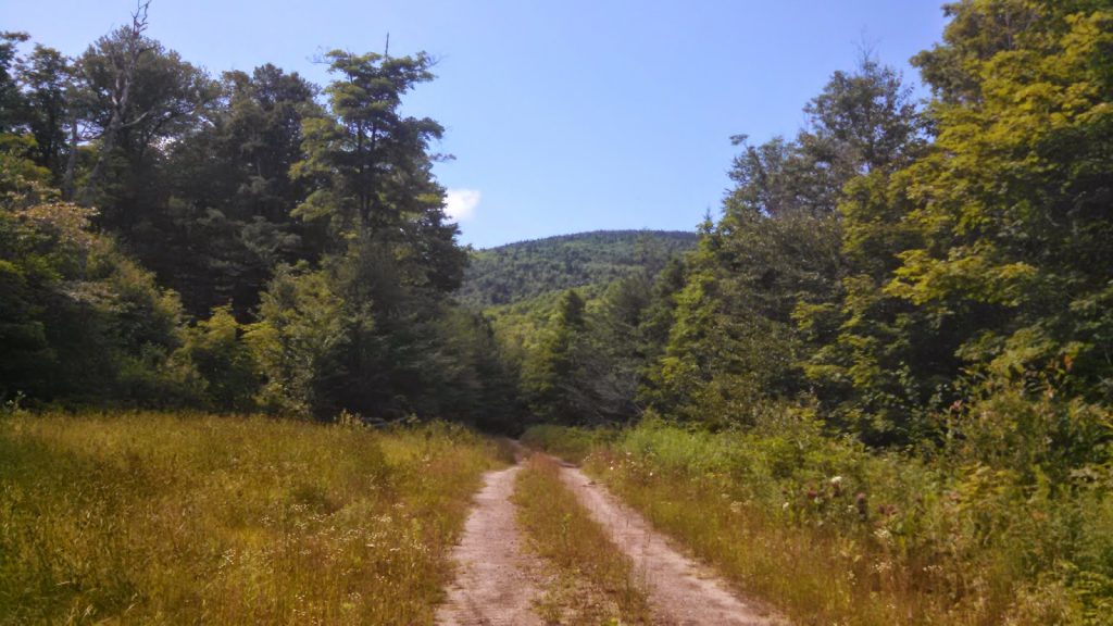 |
| Logging road up to the col between Signal and Butterfield |
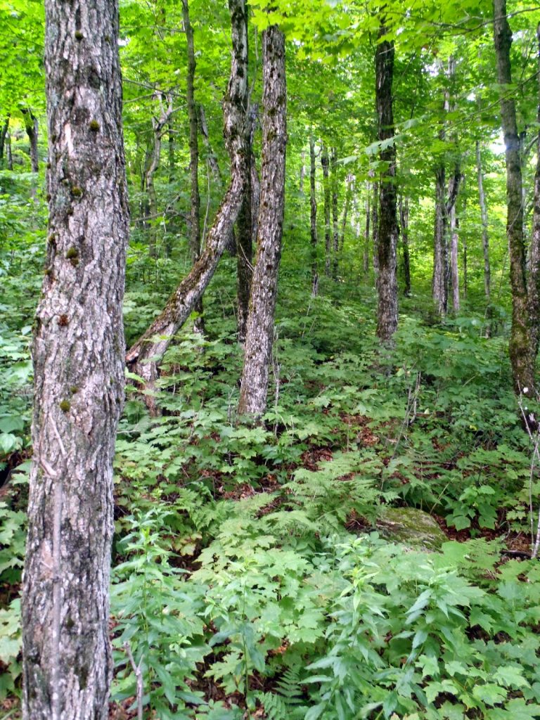 |
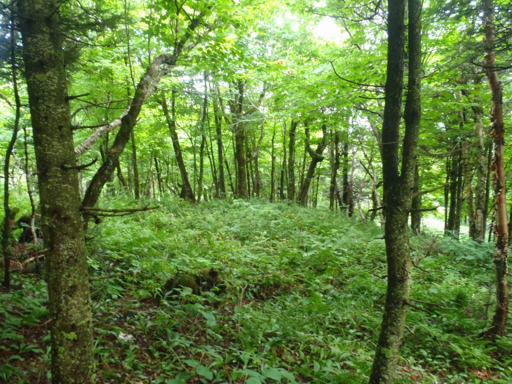
| Mostly open woods and ferns to hike though |
 |
| The summit is marked with a naglene canister |
 |
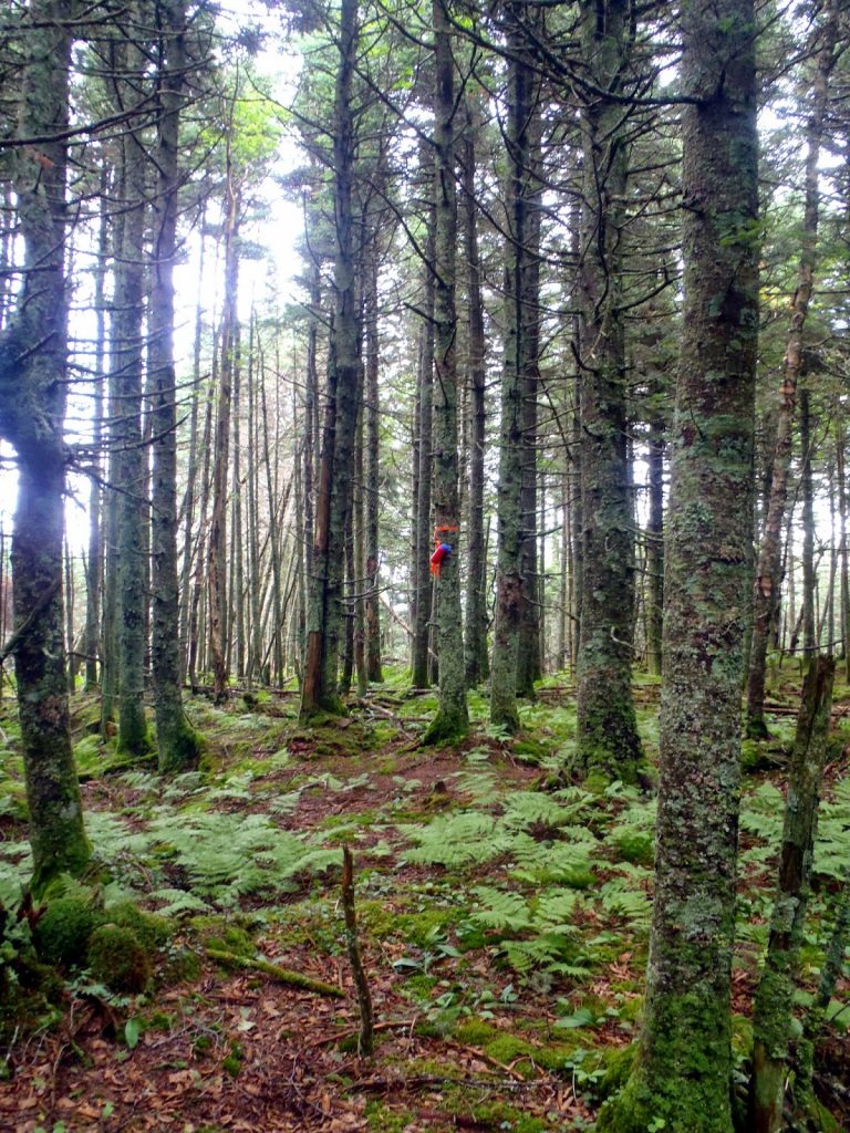
| Pretty nice, for a bushwhack |
The summit came plainly into view without too much searching. The highest point was nearby the summit canister and I was glad I didn't have to spend too much time on this one. The canister is a nalgene bottle with probably 20 names or so. Most of them are hunters and county high point-ers but there were a few fellow prominence peakbaggers. Rowdy bunch, we are.
Heading down is always more difficult than heading up because everything looks the same and you're not simply hiking up until you can't gain any elevation anymore. Hiking down requires more orienteering and navigation which can be difficult. This was no exception, even with the open woods. I probably spent more time hiking down than I did up. Eventually I did find the road again and I was back down with a 1/2 day of hiking under my boots.
The nearby Butterfield Mountain is also a county high point and a New England 3000 footer, for those who are interested. Many will chose to hike both Signal and Butterfield together, but that was not in the cards today with thunderstorms looming. After this hike, I headed back in to Montpelier and enjoyed an excellent meal at one of the several fine restaurants in the capital city.
Read. Plan. Get Out There!

3 Comments
Bill Sussdorff
June 24, 2021 @ 21:23
Hi Quincy-
I just discovered your site & love it! I used your info. to bushwhack Signal Mt. today. Like you mention, as bushwhacks go it’s not too bad
although like you I did find the return trip to the road a little more challenging. I’m planning on doing Cider Hollow Mt. High Point soon.
Thanks for all your intel.
Bill Sussdorff
Quincy Koetz
June 26, 2021 @ 15:49
Of course! I sure miss bushwhacking remote summits in Vermont! Is Cider Hollow Mt High Point in the Cold Hollow Mountains? That was another great bushwhack if so.
Erik Hamilton
February 8, 2024 @ 09:42
Thank you for the great report! It may have gotten lost in the world wide web, but only temporarily until making its way onto my screen – I have had my eye on these for quite some time.