Goose Eye is a great gem hidden in the rugged Mahoosuc Range of Maine. It is traversed by the Appalachian Trail but hardly sees any traffic other than long-distance hikers. Although I climbed it in a storm and had no views, on a clear day they are the best in the range.
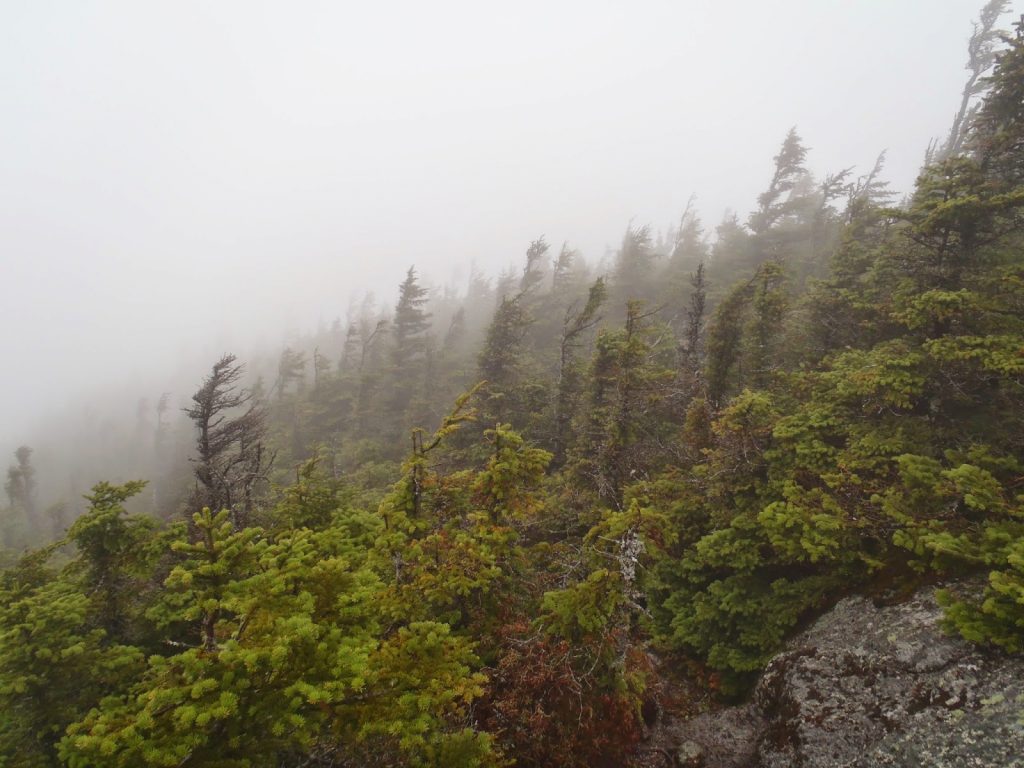 |
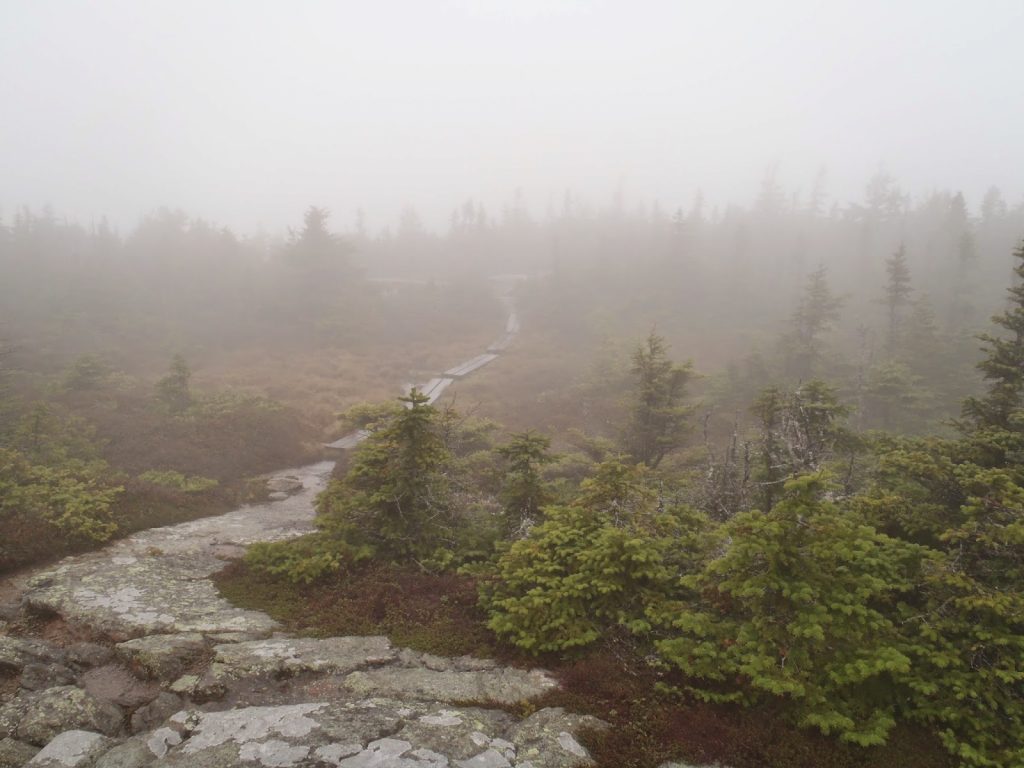
| No real views from the summit today, but the krumholtz had a mythical look to it in the fog |
Today's hike was back down here in western Maine in the rugged Mahoosuc Range, famous for being the gateway to the state via the Appalachian Trail. The Mahoosuc Range is a particularly wild section of the Appalachian Trail and the Mahoosuc Notch is considered by most to be "
the most difficult mile of the AT". Nevertheless, given its remoteness, you're likely to have the place to yourself save for a few northbounders and southbounders. Plus, Goose Eye is on
New England's 100 Highest (but there's more reason to hike it than that!).
I love hiking in the Mahoosucs. The range has many summits worth hiking. Beginning near Gorham, New Hampshire, the Appalachian Trail crosses the Androscoggin River and abruptly ascends
Mt Hayes. The trail goes up and down about 5 other peaks before crossing
Success Peak, the last mountain on the AT in New Hampshire. It then crosses into Maine and climbes Mt Carlo and the glorious Goose Eye Mountain. Then there's the Mahoosuc Notch, Mahoosuc Arm and the crown of the range,
Old Speck Mountain.
This hike was a great loop of two summits. Here's my map-
The hike of Goose-Eye Mountain can be done as an out-and-back but its much more interesting to do it as a loop hike along with Mt Carlo. This exposes you to a great section of alpine hiking and makes for a moderate-by-white-mountain-standards day trip.
Getting to the "trailhead" is somewhat tricky. High-clearance is not necessary but it would make the drive faster. It is roughly 8.0 miles from Hutchins Road in Gorham, New Hampshire along Success Pond Rd or 13.7 miles south of Maine Rt 26 as it crosses Grafton Notch. I approached from the south and had little trouble getting to the trailhead in my sedan. The parking area is marked but doesn't have capacity for much more than 3 cars. On this day I did happen to see one other hiker.
I'd recommend taking the Maine Mountain Guide with you on this one as the trail is slightly confusing at the bottom. The signs are clear, as long as you're looking for them.
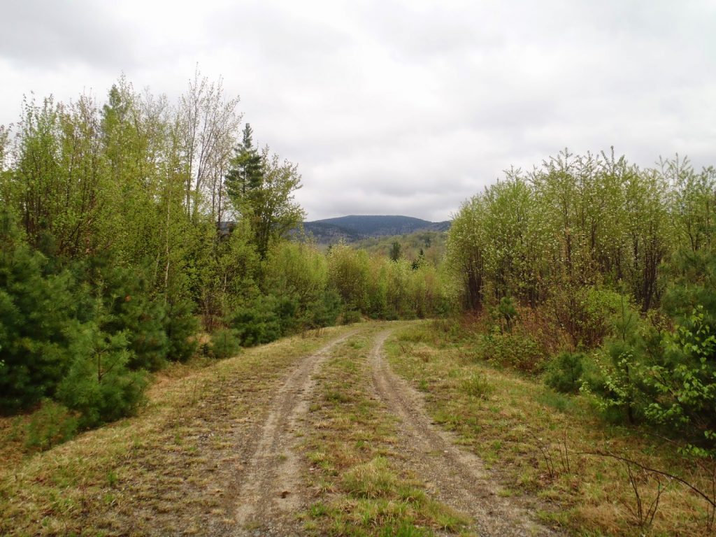 |
| Hiking logging roads for the first section |
After the logging roads, it was a pretty straightforward ascent to the summit. The trail itself was very well maintained and it was delightful, even in the rain. There's quite a substantial alpine area surrounding the summit which is always nice to walk through. It was pretty steep towards the top-
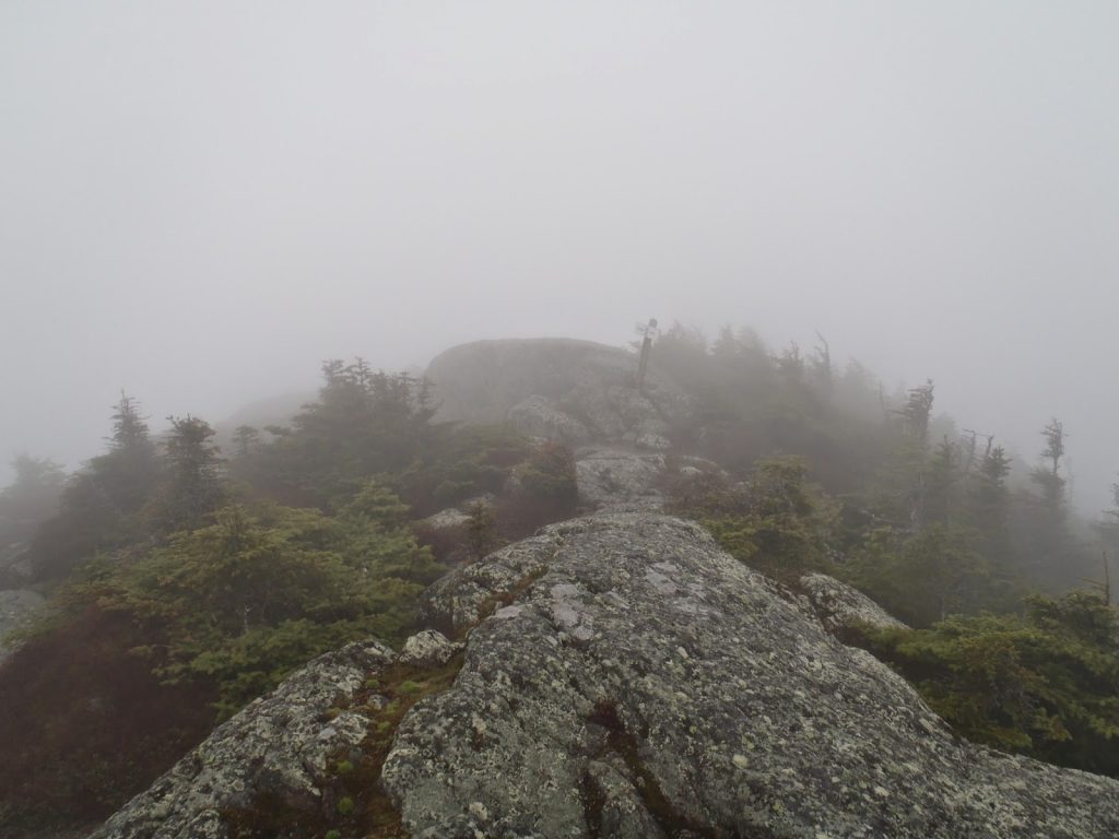 |
| It was a bare-rock scramble towards the summit |
It was disappointing that I didn't get the view today; it has been worth of some
excellent photography. Regardless, the rain stopped for a brief while and I enjoyed my lunch.
Traversing from Goose-Eye to Mt Carlo is actually more difficult than it appears. In 1.5 miles, you descend over 600 feet from the summit of Goose Eye and then re-ascend 400 feet to the summit of Mt Carlo. Standard stuff for a hike in the Whites, but still quite challenging. There are several alpine fields though which make the up-and-down worth it. Mt Carlo itself has some directional views.
The AT heads down Mt Carlo for about 0.3 miles and then intersects with the trail that takes you to the Carlo Col shelter and eventually down to the trailhead. Its a slippery mess, one of those trails that essentially just follows down a stream. This part wasn't particularly enjoyable, but it got me down alright. After several stream crossings, I eventually popped out on the same logging road I started out on and passed by the turn-off for the start of the loop. I was back to my car after about 5 hours of hiking.
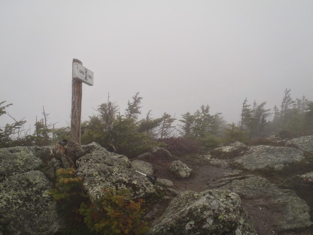 |
| Summit |
 |
| The trail between the summits |
 |
| Spruce Grouse? |
It was a great hike. There's more reasons to hike this loop other than just tagging a 100 highest summit. Although the Mahoosucs are known for being a particularly arduous section of the Appalachian Trail, I'd say the immense wilderness of the range makes it very appealing. Someday I'll probably do a full traverse of the range, hit the Mahoosuc Notch, and perhaps have a different view of the range. As for now, its one of my favorites.
Read. Plan. Get Out there!


No Comments