This is a brief account of my time bushwhacking two difficult summits of New England's Fifty Finest. They are seldom visited by anyone save for people on prominence missions, like me. Nevertheless, both summits had substantial amounts of wilderness and the total lack of anything civilized made for a great adventure.
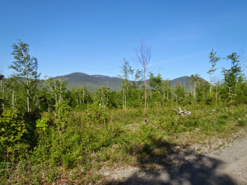 |
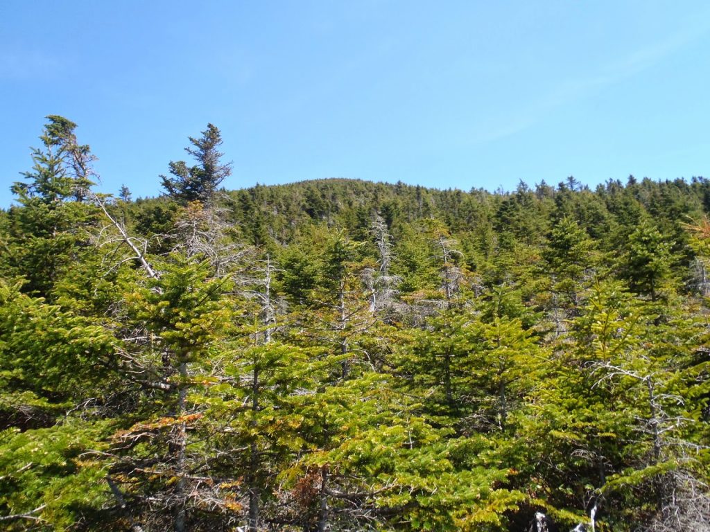
| The Baker Group, from right to left- South Baker, Middle Baker (covered up by a tree), Mt Baker (very small hump in the distance next to the tree, and Baker's false summit (big bump on the left) |
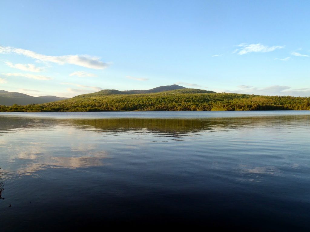 |
| Saddleback Mountain at sunset on Silver Lake, North Maine Woods |
Mt Baker and Saddleback Mountain (not the ski resort Saddleback) are two of the toughest 'whacks on the New England 50 Finest List. I don't know how many people have actually bothered to hike all them, but anyone who has says that Baker is the toughest. After climbing 42 of the 50, I'd say Baker is the toughest I've hiked thus far.
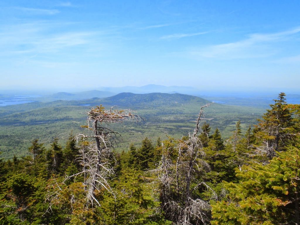
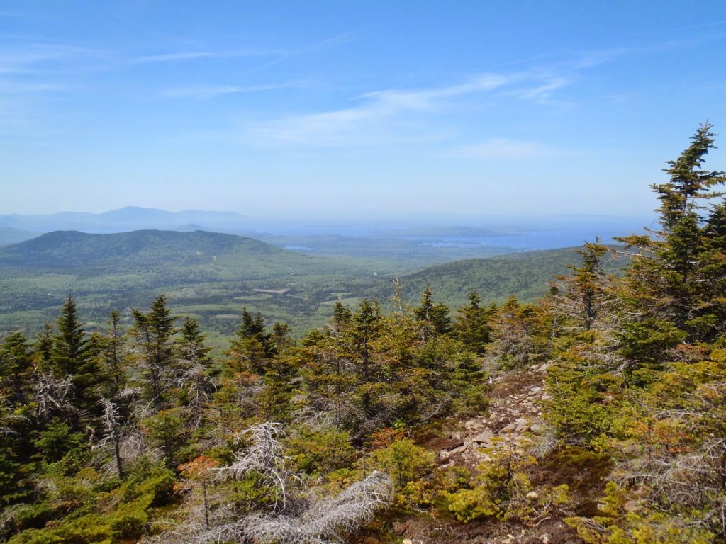
Both summits have good reason for hiking. I won't lie, I found this out from Wikipedia, but apparently Saddleback Mountain has one of the longest lines of sight in the Northeast- it is possible to see the summit of Mt Washington on an exceptionally clear day. I'm confident that I could see for at least 75 miles on the day I climbed it. As for Mt Baker, there are some bare ledges on the western shoulder which offer an excellent vantage point for seeing Moosehead Lake. Additionally, the moose are everywhere.
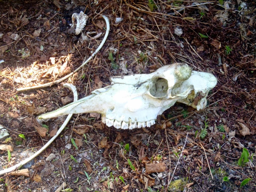 |
| Bull Moose Skull near the summit of Saddleback Mountain |
Bushwhacking Saddleback Mountain (Piscataquis County, Maine)
The hardcore bushwhacking scene gets antsy when you post a GPS tract of your
hike route so I'll refrain (but message me if you really need it). Saddleback Mountain can be reached on Katahdin Iron Works/Jo-Mary Road which is a gravel road that leads into the publicly accessible land of the
Maine North Woods.
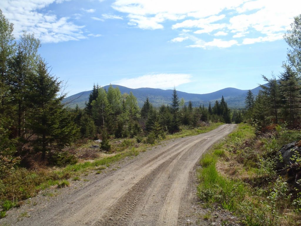
Just before the entrance to the park, I turned right on Merther Road and drove/biked approximately 4.0 miles to a junction with an unmarked road. Merther road is not very well maintained so I biked part of it after I thought I couldn't make it further in the car. I turned left at this intersection and steadily gained elevation. After 0.7 miles and just past a large clearing, I came to a junction which
others have used to climb Saddleback. This involves turning right at this intersection, following the logging road for less than 0.5 miles and starting your ascent somewhere along the way. The summit is obvious and the bushwhack would involve more distance but less spruce than the route I took.
I took a left at this intersection and continued to gain elevation. The road was straightforward- It wraps around Saddlerock Pond and around the ridgeline before abruptly ending in an active logging area. It was 2.7 miles from the other turn off and 3.4 miles from Merther Rd. The elevation was approximately 2,000 ft, 990 feet below the summit.
 |
| Saddleback comes in to view on the logging roads |
 |
| The 100 mile wilderness viewed from a very active logging area on Saddleback |
Note that there are dozens and dozens of logging roads in the area and you need to be very careful of your location- bring and odometer, altimeter and GPS. Its easy to get lost in the maze of logging roads. Also, they are active logging roads- don't you dare get in the way of the loggers!
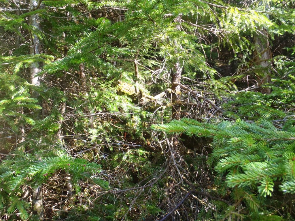
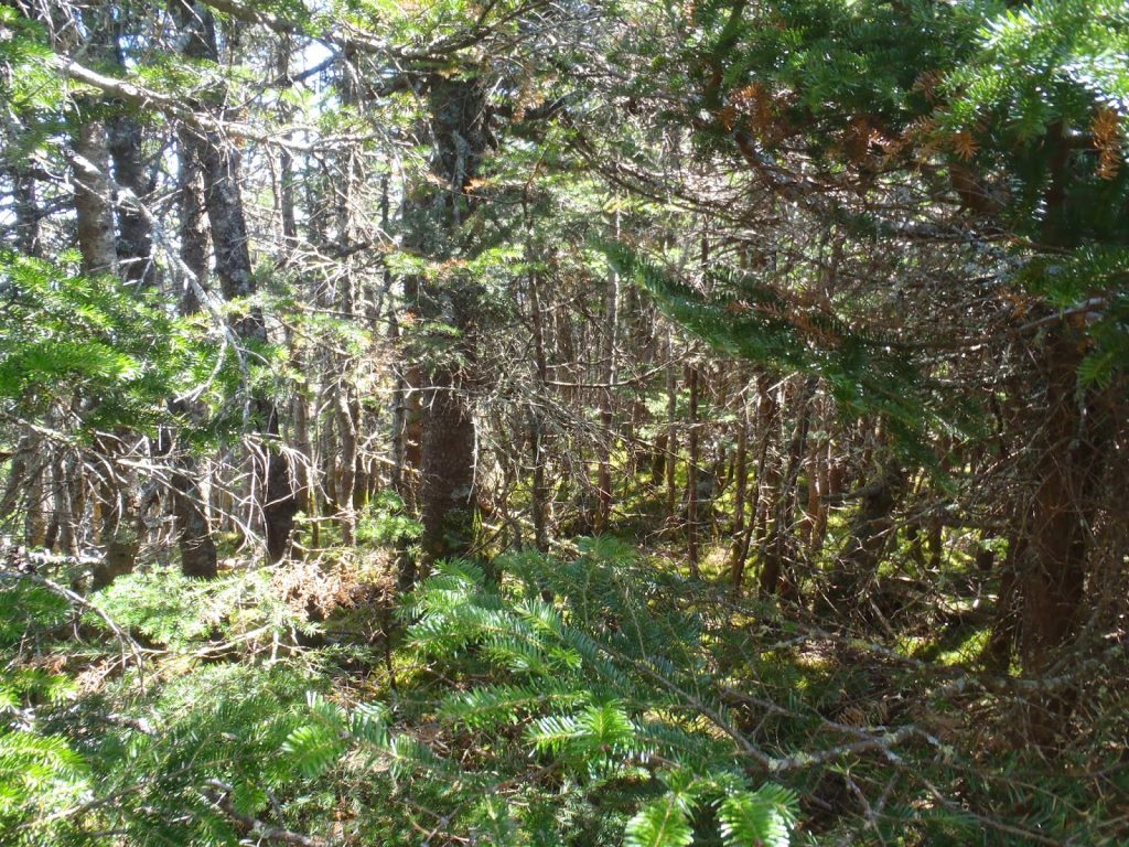
Saddleback was my first hard bushwhack in New England. I'd hiked Grass, Mendon and Dorset which were pretty well trailed although they are listed as bushwhacks. Saddleback had neither a faint trail nor the slightest herd path- it was a charge up a steep slope through thick spruce. Occasionally a moose path would help, but moose aren't exactly concerned with climbing to the exact high point on a ridgeline. So it was a slog, but it could have been worse.
 |
| Classic bushwhacking.. |
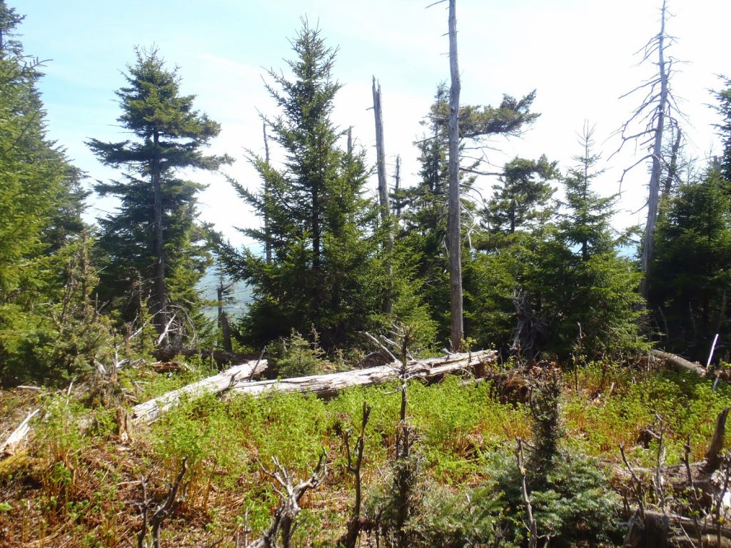 |
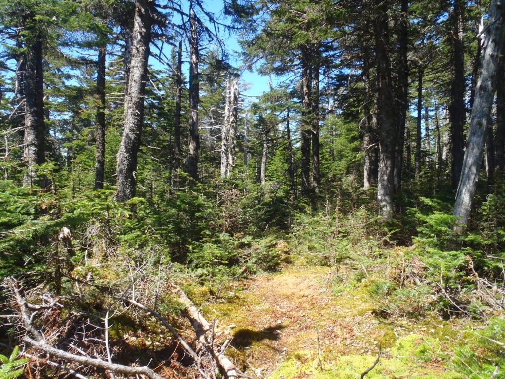
| A nice respite near the summit |
After about 35-40 minutes of climbing, I reached the ridgeline itself and found that I was about 200' below the true summit. There were two moose skeletons near the summit and one was nearly complete. The other had a fantastically intact moose skull which has been reported by other hikers. I resisted the temptation to take it.
It took a bit of searching and whacking to find the true summit and there was no summit canister. I relied on my altimeter which read almost exactly 2,998ft- the summit's elevation. There were no views but the walk up had some.
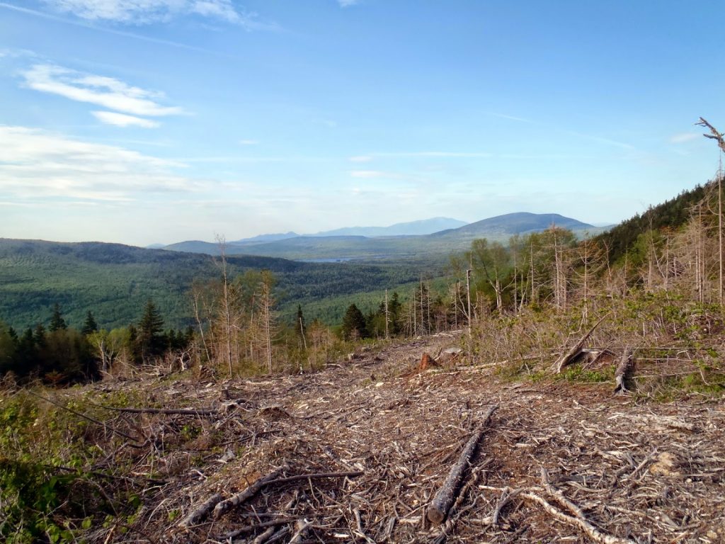 |
| Katahdin is clearly visible from the highest accessible point on the logging roads. The summit had no views |
 |
| Wading through the high spruce on Mt Baker |
Bushwhacking Mt Baker, Maine
Saddleback was a good warm up for what was about to come. All in all, the total bushwhacking distance on saddleback was 1.4 miles, round trip (along with a lot of mountain biking). On the other hand, Mt Baker was a 3.0 mile round trip bushwhack through some extensive spruce. Although it wasn't total misery, parts of it were as difficult as I ever remember bushwhacking through. None the less, there were some excellent views here has well.
Mt Baker can be climbed by itself or as a part of a traverse across
South Baker, Middle Baker and Lily Bay Mountain which are appealing to those going for the NE3Kers. I elected to
just hike Mt Baker.
 |
| Another view of the Bakers from the logging roads |
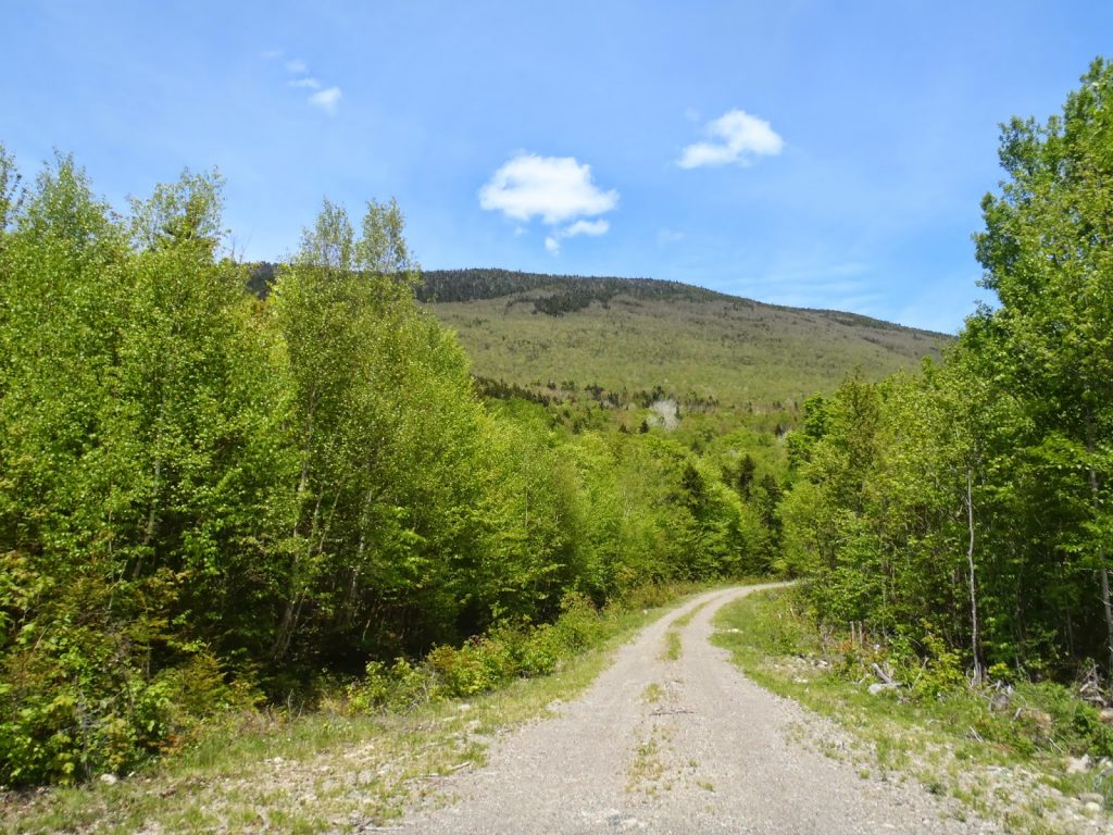
Getting to the "trailhead" of the Bakers was easier than I thought it would be- most of the logging roads were well graded (as of 6/2014). I had no troubles in my lil' sedan getting pretty far into the wilderness. Only the last mile or so of logging roads had to be walked.
Here are some directions. As a side note, NH Mountain Hiking has been completely reliable with all off-the-grid hikes and bushwhacks- an excellent resource for folks like me.
The highest part of the logging road for Mt Baker ends at about 2,150' of elevation, according to my altimeter. From here, it was 1.5 miles to the summit. Mind you, there's a small but prominent west summit and several humps between there and the true summit which can complicate directions. I used the few logging swaths to help gain elevation without too much scrub. These abruptly ended and it was just an old bushwhack.
At about 3,200' of elevation and 0.7 miles of climbing, the bush became very thick but there are some completely open slides on the south and southwestern sides of the west hump of Mt Baker. These were very helpful in gaining both elevation and distance towards the summit. They also served as the only views on the hike-
 |
| Excellent views of Moosehead Lake from the ledges below the western bulge of Baker |
 |
| Big Moose Mountain in the far distance on the left with Prong Pond Mountain in the foreground |
As I got higher, moose herd paths became evident and they were useful in plunging further into the woods. At times the moose's paths were as clear as a trail but the usually petered out after a few hundred yards and I was back to bushwhacking. Part of the confusing aspect of climbing Baker is that I topped out on the western bulge and noticed two other bulges in between here and the summit. Inevitably, I ended up going up and down both of them- oh well. The climb itself was difficult but fairly straightforward as opposed to this section were I generally made my way east towards the true summit but was turned around more than once.
As it was almost mid afternoon, my altimeter was reading closer and closer to the actual summit elevation of 3,521ft. With only about 150ft of vertical elevation to go, the spruce became incredibly thick. It was difficult to move at all- I was nearly claustrophobic. That last 150ft of pushing almost turned me back.
 |
| The somewhat well marked summit |
 |
| Spruce was less thick at the summit itself |
 |
| Moose herd paths were occasional and welcome |
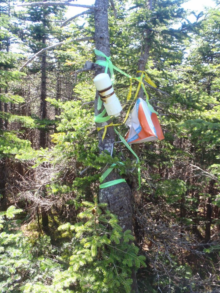
At the summit itself, there was a proper canister with perhaps 15 names in it since the early 2000s when it was placed. Wow.
Looking around, it was possible that there were several points on a relatively narrow ridgeline that could also serve as high points but there were no summit canisters. If this was good enough for the other 15 people, it was good enough for me! I celebrated reaching the top of another 50FF summit and relaxed a while.
As bushwhacks go, the way down was no easier. Again I found myself getting turned around here and there, especially on the several humps that make up the western arm of Baker. Once I was back to the bare slides, it was a straightforward hike down. My total time hiking was roughly 7 hours and I was covered in cuts and scrapes. I suppose it was worth it to hike a mountain that had barely seen human contact over the last two decades and presumably longer.
Crazy mountain climbers like me have poor short term memory. I wouldn't be surprised if I come back here for more adventure (or misery) soon. If you hike Baker, prepare for anything!
Read. Plan. Get Out There!


No Comments